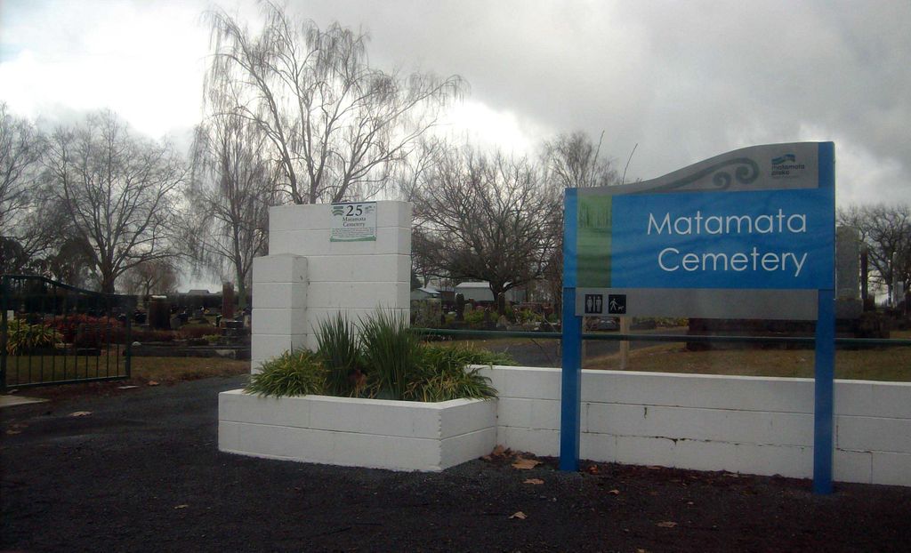
Matamata Cemetery
Matamata, Matamata-Piako District, Waikato, New Zealand
About
-
Get directions Peria Road, Matamata, Matamata-Piako District, Waikato, New ZealandCoordinates: -37.80180, 175.75354
- Cemetery ID:
Members have Contributed
Advertisement
Photos


The earliest burial record for this cemetery is 16 October 1910, six years after the establishment of the Matamata township in 1904. Before that date burials were made at the Waharoa Cemetery or at Te Aroha. Burial records are available at Matamata District Council Area Office, Tainui Street, Matamata.
The earliest burial record for this cemetery is 16 October 1910, six years after the establishment of the Matamata township in 1904. Before that date burials were made at the Waharoa Cemetery or at Te Aroha. Burial records are available at Matamata District Council Area Office, Tainui Street, Matamata.
Nearby cemeteries

Waharoa, Matamata-Piako District, Waikato, New Zealand
- Total memorials118
- Percent photographed93%
- Percent with GPS4%

Waharoa, Matamata-Piako District, Waikato, New Zealand
- Total memorials2
- Percent photographed0%
- Percent with GPS0%
Okauia, Matamata-Piako District, Waikato, New Zealand
- Total memorials4
- Percent photographed0%
- Percent with GPS25%

Matamata, Matamata-Piako District, Waikato, New Zealand
- Total memorials73
- Percent photographed100%
- Percent with GPS0%
- Added: 30 Jun 2010
- Find a Grave Cemetery ID: 2360199

Cemetery Photos
This is a carousel with slides. Use Next and Previous buttons to navigate, or jump to a slide with the slide dots. Use Escape keyboard button or the Close button to close the carousel.


Success
Uploading...
Waiting...
Failed
This photo was not uploaded because this cemetery already has 20 photos
This photo was not uploaded because you have already uploaded 5 photos to this cemetery
This photo was not uploaded because you have already uploaded 5 photos to this cemetery
Invalid File Type
Birth and death years unknown.
1 photo picked...
2 photos picked...
Uploading 1 Photo
Uploading 2 Photos
1 Photo Uploaded
2 Photos Uploaded
Size exceeded
Too many photos have been uploaded
"Unsupported file type"
• ##count## of 0 memorials with GPS displayed. Double click on map to view more.No cemeteries found