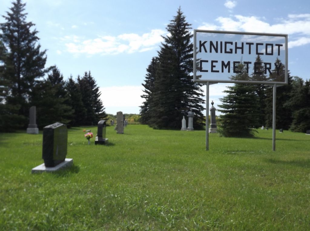
Knightcot Cemetery
Also known as Thornhill Cemetery , Knightcott Burying Ground , Knightcote Burying Ground
Thornhill, Pembina Valley Census Division, Manitoba, Canada
About
-
Get directions 36092 Provincial Highway 3
Thornhill, RM of Pembina, Manitoba
R0G 2T0 CanadaCoordinates: 49.19192, -98.27338 - www.pembina.ca/p/cemeteries
- [email protected]
- +1-204-242-2838
-
Office Address
RM of Pembina Office
360 Provincial Highway 3
PO Box 189
Manitou, RM of Pembina, Manitoba
R0G 1G0 Canada - Cemetery ID:
-
Additional information
Located on the south side of Provincial Highway 3, West of the former town site of Thornhill, MB, at the boundary between the Rural Municipalities of Pembina and Stanley
There is no network of improved roadways providing vehicular access to the grounds.
The cemetery is managed by a local committee, whose current contact information is available on the RM of Pembina website [2023/11].
Members have Contributed
Advertisement
Photos


It was on March 1, 1888 that Thomas Gillett of 1-3-7 W., for the sum of $20, turned over the three-acre parcel of land, now known as Knightcott Cemetery, to the trusteeship of Abraham Patterson, John Sweet, Ferris Bolton, George Waddingham and Hammett Edwards. It was referred to as "Knightcott Burying Ground" in the deed and a stipulation was included saying it was not to belong to any particular denomination of Christians.
It was specified in the document that a meeting of the local inhabitants should be held at or about two o'clock in the afternoon of the second Thursday in January, 1893, and in every fifth year thereafter for the purpose of electing and appointing trustees. Said meetings were to be held in Ebenezer Church or some other suitable place in the locality. The papers were drawn up by Henry J. Pugh in the Town of Morden in the County of Dufferin and witnessed by J. B. McLaren.
No mention is made of it in the document, but it is said that Mr. Gillett wanted an Anglican Church built on the property and the surrounding lots to be used as a cemetery, but the church was never built.
According to a record compiled by the late Miss Ethel Currie, the cemetery was first used in 1879, several years before the papers were drawn up and signed. The earliest records were lost in a fire at the Hammett Edwards' home.
The name of the cemetery is said to have been chosen by Mr. R. C. Bradshaw and it is interesting to note the variations in spelling, Knightcott, Knightcot and Knightcote.
(Source: As years go by - Thornhill Elam Orangehill, p 43 [Adapted])
Established in 1879. This 3-acre cemetery was purchased from Thomas Gillett in 1888 and was designated Knightcott Burying Ground to be used by all denominations of Christians. The first grave in the cemetery is that of Walton McNabb in 1879 before the site was designated.
Miss Ethel Currie was instrumental in establishing a perpetual care fund in the 1960s.
CURRIE 1877-1977 / July 10 1977 - This plaque was laid to mark the 100th year that these acres have been farmed by the ancestors of Adam, Arthur and Elizabeth Currie
(Source: Manitoba Genealogical Society [Adapted])
This cemetery is situated along Highway #3 between Thornhill and Darlingford in the Rural Municipality of Pembina. The three-acre property was purchased in March 1888 for the sum of $20. A perpetual care fund developed in the 1960s by Miss Ethel Currie (1888-1966) enables ongoing maintenance of the grounds.
(Source: Manitoba Historical Society)
Dominion Land Survey coordinates: LSD16-01-03-07-W1
As noted above, part of the story of the town and its inhabitants from the early days of European settlement through roughly 1971 is told in the volume "As years go by - Thornhill Elam Orangehill", and with regard to this cemetery, especially starting on page 70. A free digital version of this and many other Manitoba local history books can be found online in the University of Manitoba Digital Collections. There is also a list of such books organized by district and town name on the Manitoba Historical Society's website on their page entitled "Finding Aid: Manitoba Local History Books".
A list of burials in this cemetery is available from the Manitoba Genealogical Society, as transcribed by a member or members in 1989. Also available to MGS members is a searchable online database named the MGS Manitoba Name Index (or MANI).
Nearby cemeteries

Darlingford, Pilot Mound Census Division, Manitoba, Canada
- Total memorials891
- Percent photographed95%
- Percent with GPS1%

Morden, Pembina Valley Census Division, Manitoba, Canada
- Total memorials0
- Percent photographed0%
- Percent with GPS0%

Morden, Pembina Valley Census Division, Manitoba, Canada
- Total memorials513
- Percent photographed97%
- Percent with GPS7%

Morden, Pembina Valley Census Division, Manitoba, Canada
- Total memorials0
- Percent photographed0%
- Percent with GPS0%
- Added: 12 Aug 2014
- Find a Grave Cemetery ID: 2550416

Cemetery Photos
This is a carousel with slides. Use Next and Previous buttons to navigate, or jump to a slide with the slide dots. Use Escape keyboard button or the Close button to close the carousel.


Success
Uploading...
Waiting...
Failed
This photo was not uploaded because this cemetery already has 20 photos
This photo was not uploaded because you have already uploaded 5 photos to this cemetery
This photo was not uploaded because you have already uploaded 5 photos to this cemetery
Invalid File Type
Birth and death years unknown.
1 photo picked...
2 photos picked...
Uploading 1 Photo
Uploading 2 Photos
1 Photo Uploaded
2 Photos Uploaded
Size exceeded
Too many photos have been uploaded
"Unsupported file type"
• ##count## of 0 memorials with GPS displayed. Double click on map to view more.No cemeteries found